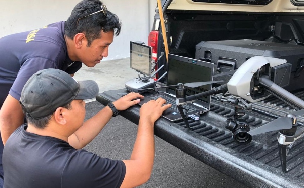
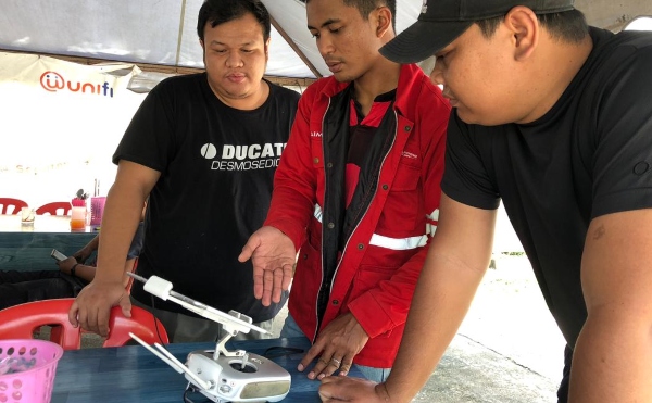
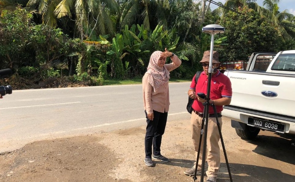
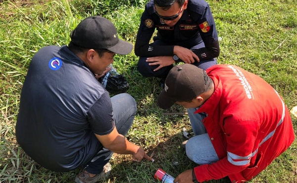
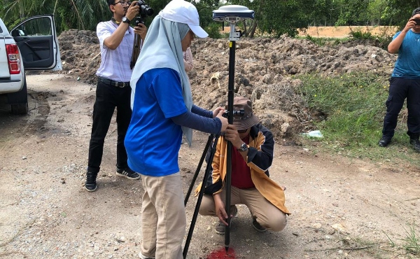
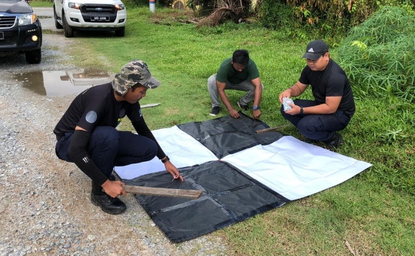
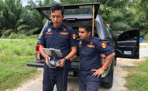
Data collection progressed in earnest as Project Team members labored to gather information for carrying out risk analysis in the project areas. Where data was not available as secondary sources from technical agencies, primary data gathering activities were carried out. One of the activities of significance was the digital surface modelling of the Kapar project area. The activities involved flying drones outfitted with LiDAR equipment, setting up ground control points, and conducting post-processing of acquired data. The result was a digital map of the Kapar area so that inundation models could be carried out. Special thanks is extended to GeoMapping Technology Sdn. Bhd. for its expertise and kind assistance.